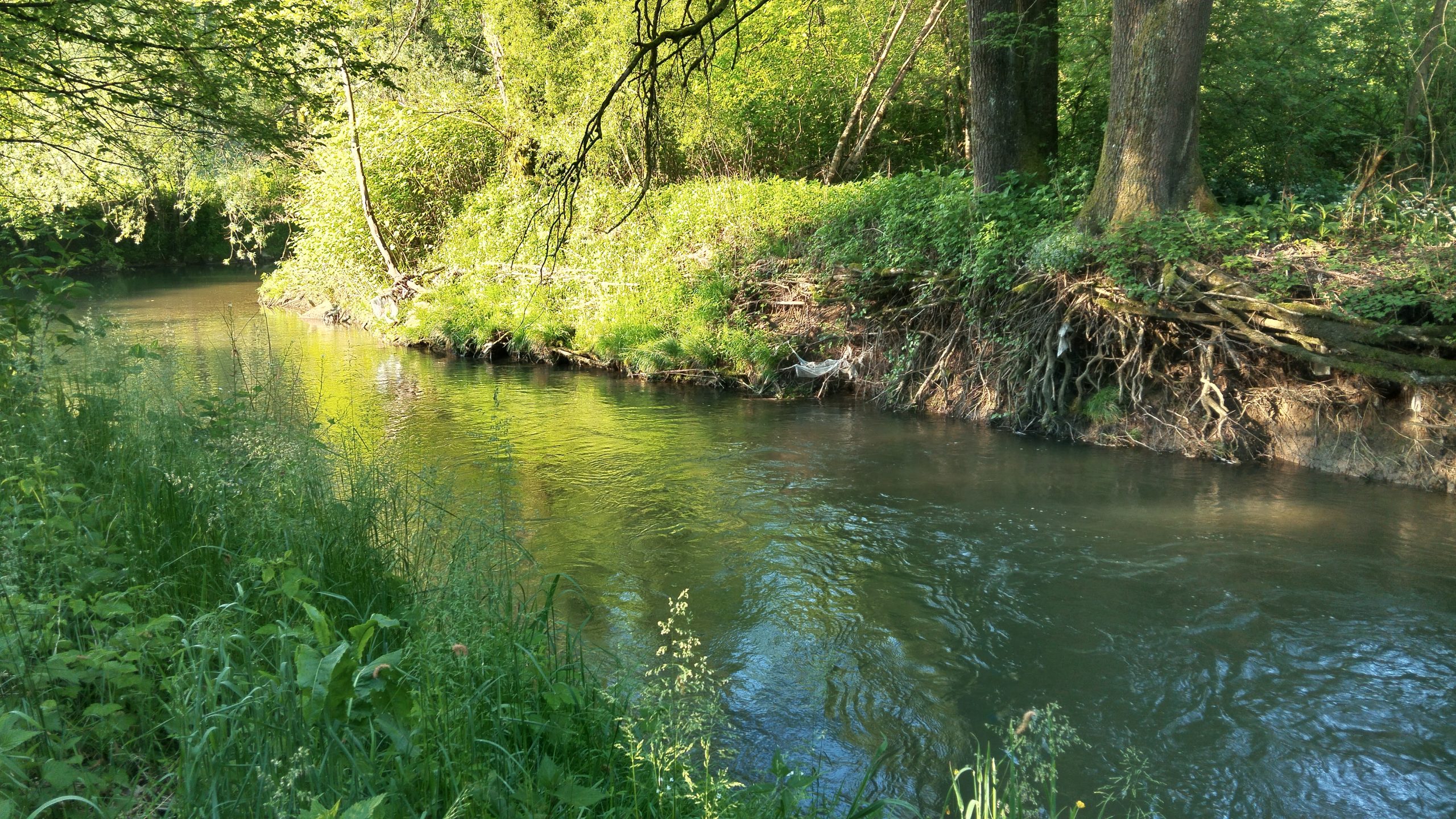
You can share observed changes, highlight issues, propose improvements, or present good practices. Other notes that help improve understanding of conditions in the field are also welcome. The collected information contributes to a more comprehensive insight into the state of watercourses and their surroundings in the Pšata Basin.
Click on a location within the Pšata River Basin on the map to add your contribution. After our review, your entry will be publicly displayed on the overview map. Your personal data will not be disclosed to the public.
The map is intended exclusively for contributions related to the Pšata River Basin (the basin boundary is marked with a red line).
Click on the map to select a location. You can zoom in by holding the Ctrl key and scrolling with your mouse wheel. You can choose the map background by clicking the “Map” or “Satellite” button.